Spinc and Wicklow Way (Red Route) Hiking Guide | Glendalough, Ireland
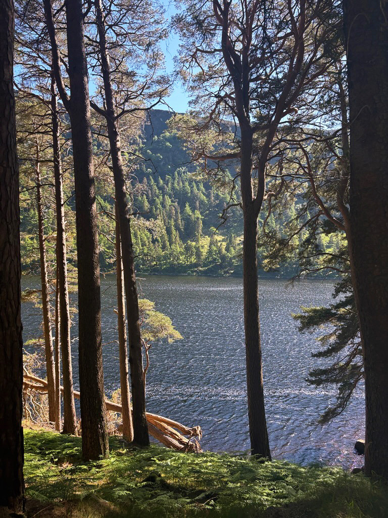
The Spinc and Wicklow Way hiking trail that starts in the town of Glendalough offers scenic views of the surrounding area, and is a hike people travel far and wide for! The Spinc (literally translated to “the spine”) of Glendalough refers to a mountain ridge that overlooks the Glendalough Valley. This is one of the most popular viewing points on the trail, but it also offers views of Wicklow Mountains National Park and its Upper Lake!
If you’re looking for information online, this route is also nicknamed the “Red Route,” referring to the color that is used to highlight it on the trail map.

*This post contains affiliate links, which means I may receive a small commission (at no extra cost to you) if you choose to make a purchase through the link. Thank you for your support – we hope you have a great trip!
Starting Point
The Spinc and Wicklow Way trail starts at the Glendalough Visitors Centre. The center also offers guided tours if that is your preference, but otherwise it is a helpful place to stop in to go to the bathroom, collect a trail brochure, or check in with the staff to see if there are any notable conditions you should be aware of before you begin your hike.
The Glendalough Visitors Centre is located at Brockagh, Glendalough, Co. Wicklow, A98 HC80, Ireland.
The center also offers a parking lot where you can leave your car while you hike, if needed. It is a loop trail so will bring you right back to where you started at your car when you’re done. 🙂
There are also public transport options that can be used to get to the visitors center to begin your hike, or if preferred there are also direct transport options right from Dublin. If you feel better as part of a tour, there are also several group guides that stop at similar viewpoints to this trail so that you can see the mountains with an expert as well.
Route Overview
The Red Route starts out from the parking lot of the visitors center and then overlaps with the Wicklow Way route. Wicklow Way is a days-long hike that stretches from Dublin all the way to Clonegal – this trail we’re highlighting is not that! It does overlap with it though, so you might come across some pretty serious hikers along the trail!
The trail will move uphill and offer a view of the Poulanass Waterfall and along a stream that feeds into the lakes before you separate off of the long Wicklow Way trail and follow the sign towards the Spinc. Very little of the trail is flat, so be prepared to work your way up and down the mountain!
While some of the trail is natural, there is also a “Spinc Boardwalk” that was built out of wood that covers a good portion of the hike and provides a platform for the main viewpoint. This helps keep the trail obvious and allows for easier hiking if the surrounding land gets a bit swampy. While fairly well maintained, some of the trail is rocky and should only be attempted by those with steady-footing.


What To Bring
This loop trail is fairly strenuous as it can be quite steep at times and is almost exclusively at an incline or decline throughout the hike. Like all hikes of this nature, I would recommend wearing solid hiking shoes, sunglasses or a hat for eye protection, sunscreen, and a backpack full of energy snacks and water.
Before You Start Hiking
This hike is estimated to take at least five hours to complete in normal conditions. As with all long hikes, be sure to double check what time the sun is expected to set on the day you are hiking to ensure you leave yourself enough time to get through the entire trail while there is still daylight.
Another strongly recommended tip is to check in at the visitor’s center to see if there are any unexpected conditions you should be aware of before you set off, such as trail closures or blockages.
Lake Access
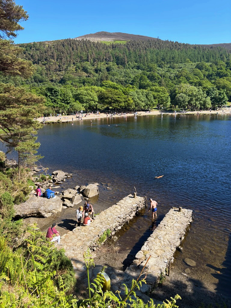
When you’re done hiking for the day and ready to just jump into the water and cool off, you can head straight to the lakes you just hiked around! The water is often chilly and can get pretty deep, but even if you’re not up for swimming it’s still worth dipping your feet in and laying out on the shore for a bit.

Frequently Asked Questions
- How far is the Glendalough Valley from Dublin? The starting point for this hike is about a 1.5 hour drive from the city of Dublin, Ireland. Definitely doable for a day trip!
- How hard is the Spinc and the Wicklow Way hike? Given its length and elevation gain, the hike is generally considered “hard.”
More Like This
1. The Pico do Arieiro to Pico Ruivo Hike | What To Know Before You Go
One of the most popular hikes on the island, if not the singular most popular activity to do in Madeira, is hiking from Pico do Arieiro to Pico Ruivo…
